Space exploration has come a long way since the launch of the first artificial satellite in 1957.
With the following rapid technology development, satellites were bound to succeed. The variety of innovations has assured satellite data use in almost every sphere of human life.
Now, there are constellations of satellites that provide valuable services to society. Everything you need to do to reach the necessary space data is to download satellite imagery from a variety of sources that provide them for further analysis.
The variety of areas where satellite imagery can be used is huge, from weather forecasting to changes detection and analytics for particular businesses. For instance, EOS Data Analytics plans to launch the first agriculture-focused satellite constellation by 2024.
In this article, we will concentrate specifically on the possibilities Earth pictures offer for environment monitoring and climate crisis detection and prevention purposes.
How Satellites Engage in Climate Change Monitoring
Remote sensing is an unmatched source of data when charting changes in the environment. And as the shifts in weather patterns are occurring more frequently and globally, satellite imagery is the best way to detect them easily and in near-real-time. Besides, different satellites use different wavelengths when taking pictures. This enables them to make not only true-color but false-color images that can be used for temperature changes analysis and more. Let’s now dig deeper to see what exactly satellites can offer when it comes to environmental changes detection.
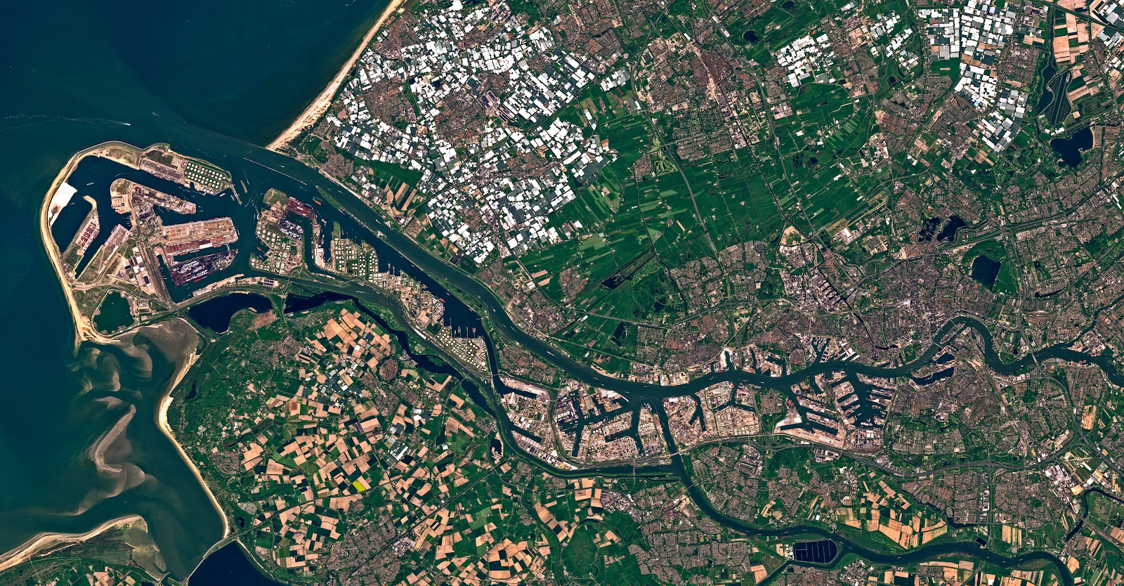
Oceans Monitoring
Satellites provide a huge volume of data on the oceans alone. This includes the water surface temperature, currents, winds, and depth. Apart from that, it is possible to track accidents like oil spills and oscillations that influence global weather patterns. Collection and analysis of all this data enable detecting changes in global sea levels and estimating the arctic ice loss. What is more, satellites can “penetrate” the clouds cover and identify water vapor, which helps meteorologists make more precise weather forecasts.
Disasters Analysis
Comparing satellite pictures made before and after any natural disaster makes it much easier to estimate the scale of destruction, whether it was a volcanic eruption, a wildfire, an earthquake, or a tsunami. This also includes detection of human-made disasters like oil spills, enabling to see the extent of the spill and to evaluate the ongoing clean-up efforts.
Here are some cases where applying remote sensing is of great help:
- Fires. Satellite imagery can be used to detect the sources of fire, its effect on nature, and its spreading thanks to the data on wind speed and direction and the analysis of vegetation cover.
- Floods. Remote sensing methods enable monitoring the state of rivers, preventing the occurrence of dangerous situations. Continuous monitoring of flooding is the best method when reducing its damage.
- Earthquakes. Space imagery helps to study the land surface and the groundwater to analyze earthquake threats. This data can be especially helpful when planning construction of any engineering structures.
Hidden Features Detection
One of the biggest advantages of observing Earth with satellites is that they are able to reveal the most hidden and remote environments, unreachable or undetected to the human eye. Another benefit is that they offer reliable and precise information almost on a daily basis, which is essential when identifying change and acting accordingly. The “hidden” data that can be retrieved includes temperature, wind direction and speed, water vapour, aerosols, cloudiness, storms, tropical cyclones, precipitation, and much more.
Apart from this, infra-red satellite imagery is a great source when identifying such hidden features as urban heat islands. Having this data makes it easier for scientists to estimate how much heat is produced in a particular city and analyze if the current cooling methods are effective.
Ultimately, the importance of remote sensing in climate change detection and prevention is hard to overestimate. More and more applications make use of satellite data by applying different algorithms to its analysis and extracting only the necessary information on-the-fly. This proves that satellites continue to play a significant role in environmental change monitoring, providing precious inputs to help humanity shift towards more sustainable development.